")
")
")


Where can you find us?
C/ Ganganell, 1
In front of Sant Pere church
17850 Besalú (Girona)

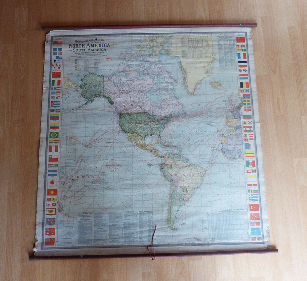
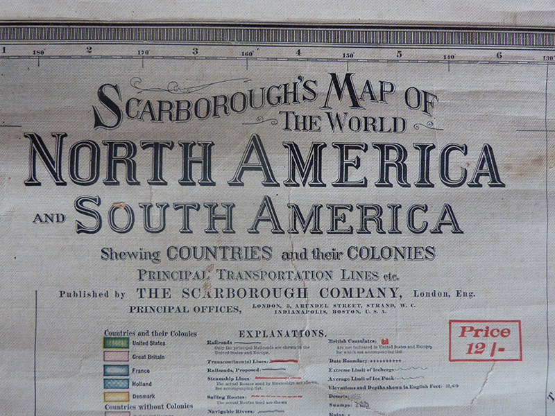
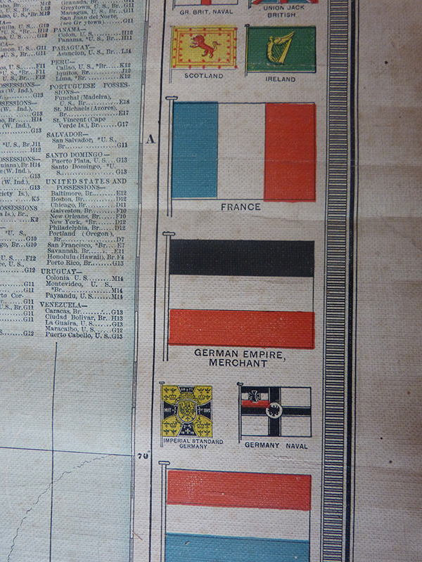
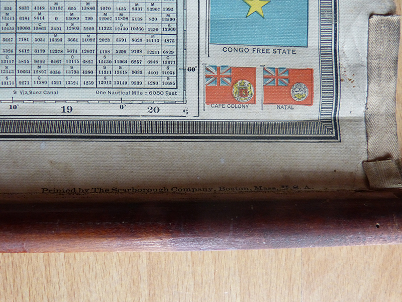
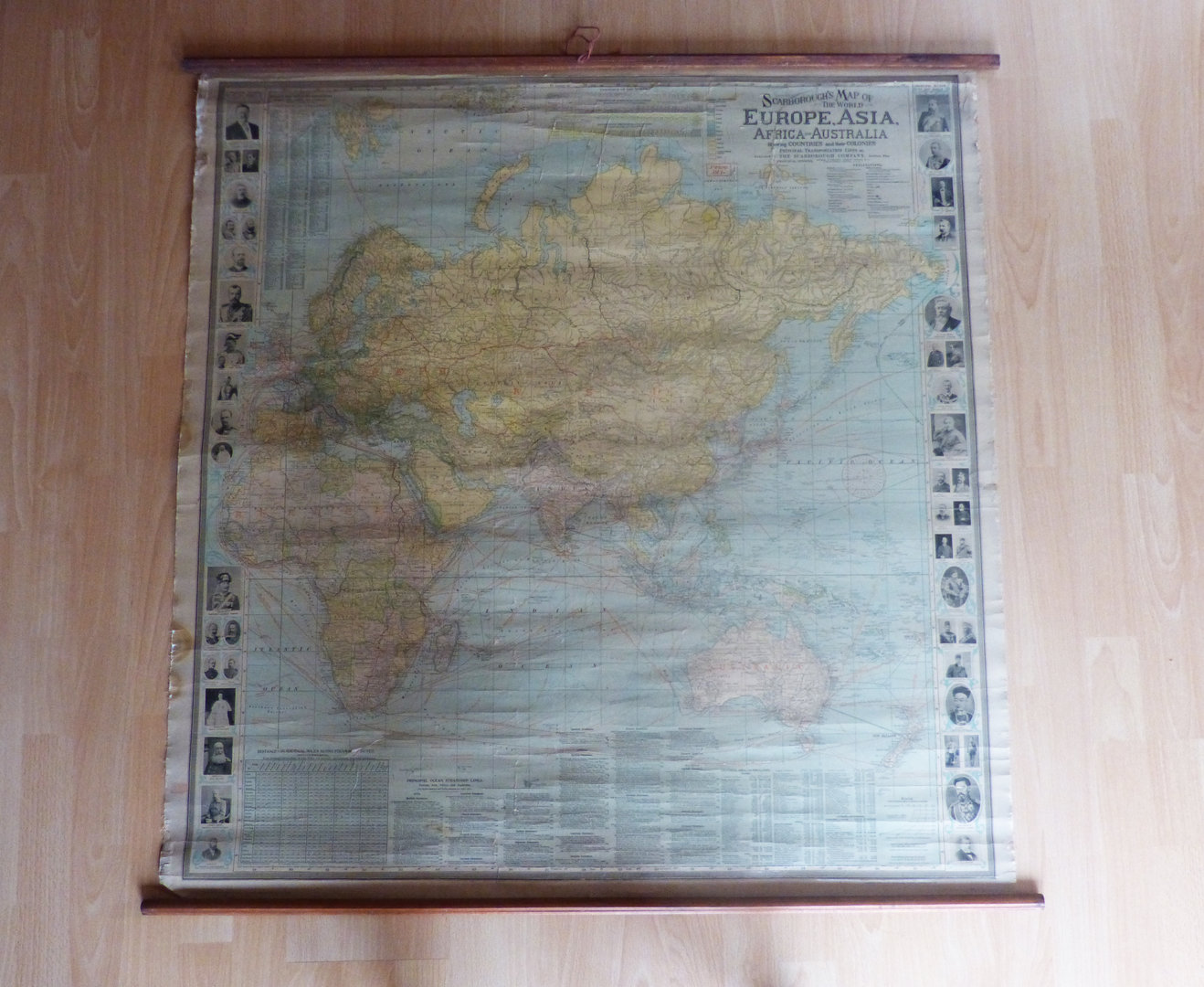
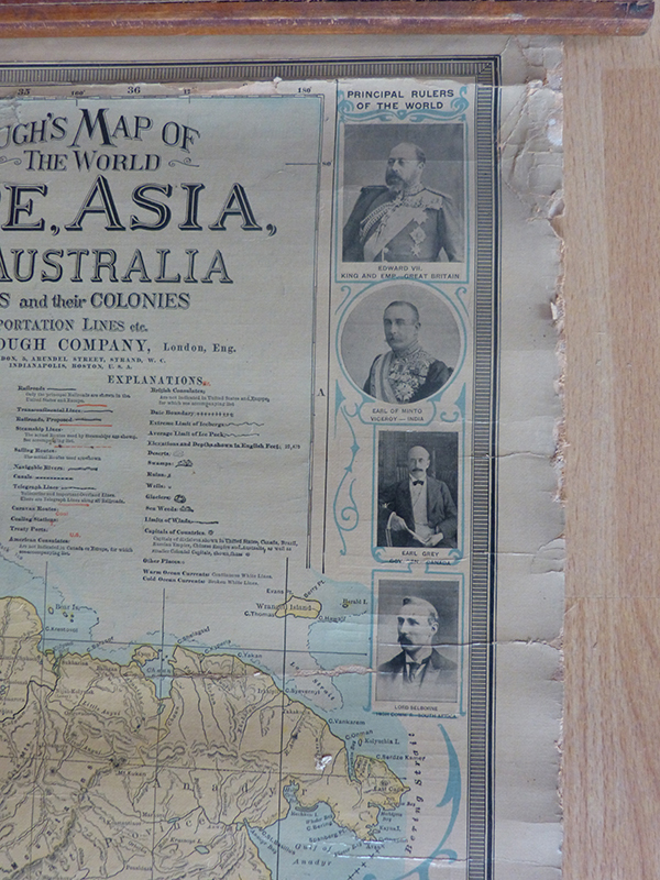
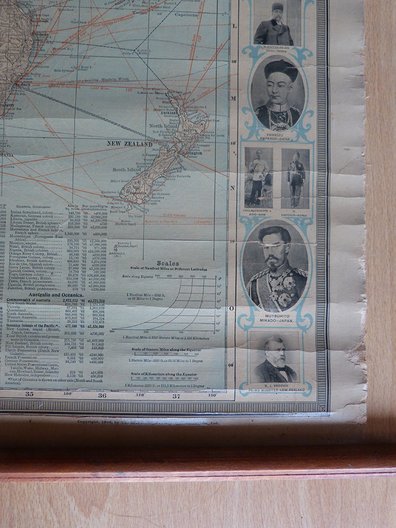
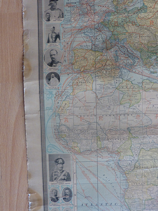
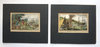
Bric a Brac Besalú Books, magazines and maps Double world map of the Scarborough house
Double world map of the Scarborough house
In stock


We also recommend
 |
 |
 |
 |
 |
 |
* Prices incl. VAT, plus delivery
Browse these categories as well: Bric a Brac Besalú, Books, magazines and maps, Maps